

If you sell palm oil, rubber, cocoa or timber into Europe, someone in your supply chain will ask you for EUDR geolocation data before the end of this year. Many estates have already received the email. Very few are sure what is actually being requested.
The confusion is understandable. Almost everything written about the EU Deforestation Regulation is written for European importers. Very little is written for the people who own the land and have to produce the coordinates.
This post is the second one.
What is the deadline, and is it going to move again?
The regulation applies from 30 December 2026 for large and medium operators, and from 30 June 2027 for micro and small enterprises (Latham & Watkins).
Those dates have already moved twice, so it is fair to ask whether they will move again. The answer appears to be no. On 4 May 2026 the European Commission published its simplification package — a review report, updated guidance and FAQs, a draft delegated act on product scope, and updates to the Information System — and confirmed it will not reopen the text of the regulation. Companies should continue preparing for the December 2026 date.
So plan on the deadline holding. From today that is under four months.
What is EUDR geolocation data, exactly?
Geolocation is defined in the regulation as the location of a plot of land described by latitude and longitude coordinates with at least six decimal digits (Fairtrade International's summary of Article 2(28)).
Six decimal places is roughly 10 centimetres. That is not a typo, and it is why a screenshot of Google Maps or a village name is not acceptable.
A "plot of land" has a specific meaning too: one continuous area within a single property, uniform enough that deforestation risk can be assessed for the whole area as a single unit. In practice, for most estates, that maps closely to how you already think about blocks or fields.
The coordinates are checked against the EU's 2020 forest cover baseline. The test is whether the land was deforested after 31 December 2020. Anything cleared before that date is outside the scope of the test — which is why accurate, honest boundaries matter more than tidy ones.
Point or polygon? It depends on plot size
This is the single most common mistake, and it is worth getting right the first time.
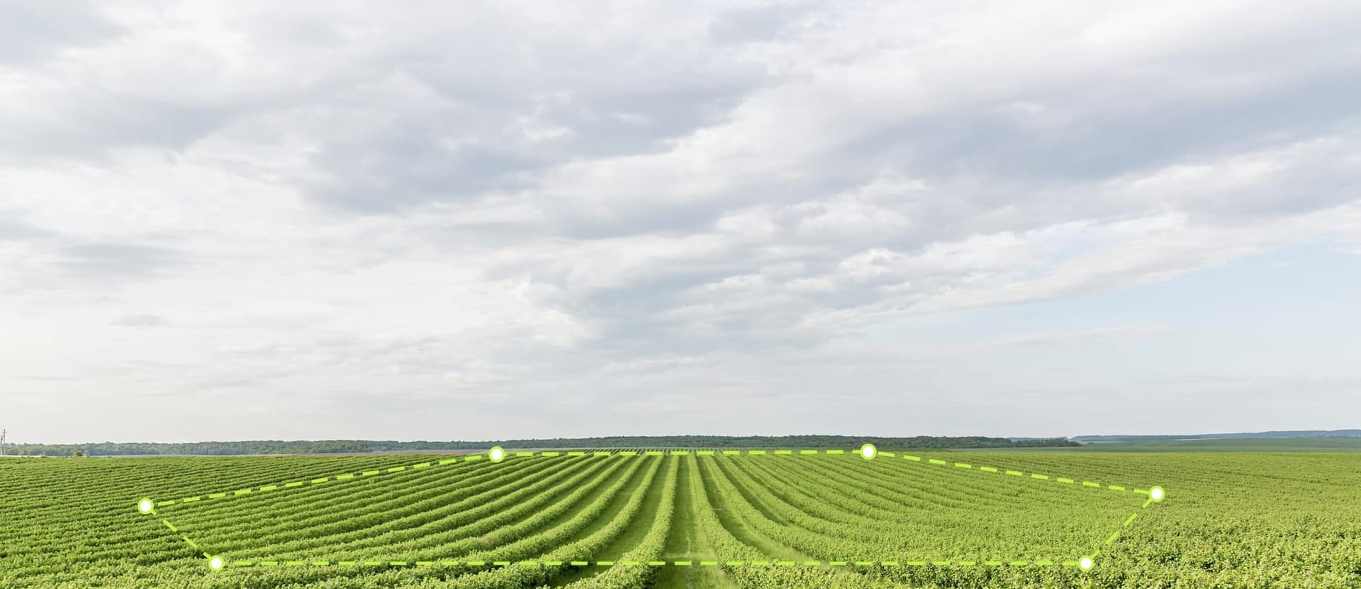
- Plots larger than 4 hectares must be submitted as a polygon — a series of coordinate points tracing the actual perimeter of the plot.
- Plots of 4 hectares or less may be submitted as a single point.
A centre point plus a radius is not an accepted substitute for a polygon. Neither is a rough rectangle drawn around a block that is actually an irregular shape.
Two practical consequences for Malaysian operations:
Most estate blocks need polygons. A typical planted block comfortably exceeds 4 hectares, so assume polygon unless proven otherwise.
Most independent smallholder plots fall under the threshold, and a single point is enough. If you buy fresh fruit bunches from smallholders, this is genuinely good news — collecting one accurate point per plot is far quicker than walking perimeters. But you still need one per plot, and you need to know which plot supplied which delivery.
The file itself is submitted in GeoJSON, in WGS84 — the same coordinate system your phone's GPS already uses. A polygon needs at least four non-aligned points and must not intersect itself. You do not need to be a GIS specialist to produce it, but you do need a tool that exports it correctly, because the geometry is validated before any deforestation check even runs.
Who actually files the statement — you or your buyer?
The December 2025 revision changed this, and it matters.
Only the first operator placing the goods on the EU market submits the due diligence statement. Downstream companies simply keep hold of its reference number. Micro and small primary producers may submit a one-off simplified declaration rather than a full statement.
For a Malaysian estate, that usually means you are not the one filing. Your European buyer, or the trader importing on their behalf, carries the legal obligation.
Do not read that as relief. It means the person carrying the legal risk is depending entirely on the quality of the data you hand over. If your polygons fail validation, they cannot file. If they cannot file, they cannot buy. The commercial pressure lands on you even though the paperwork does not.
It also means the records have a long life: operators must retain geolocation files, risk assessments and supplier details for at least five years. Whatever you send is not a one-time form. It becomes a file someone can come back to.
What Malaysia already has going for it
Malaysian producers are starting from a better position than most origins.
MSPO certification has been mandatory nationwide since 1 January 2020, and the scheme carries a deforestation cut-off of 31 December 2019 — a year earlier than the EUDR's own 31 December 2020 line, so land that satisfies the MSPO date already sits on the right side of the EU one. In September 2025 the EU acknowledged MSPO as a credible standard whose traceability system can help operators comply with the deforestation rules (EU–Malaysia joint press statement).
That does not mean MSPO certification alone satisfies the EUDR. It means much of the underlying evidence — legality of land title, boundary documentation, supply chain records — already exists somewhere in your files. The gap for most estates is not information. It is format and freshness: coordinates at the wrong precision, boundaries recorded on paper maps, and no process for updating them when a block changes.
This kind of readiness work also sits comfortably alongside the national direction we wrote about in our post on Malaysia's 13MP food security strategy — the same digital record-keeping serves both.
How to build the file, block by block
A workable sequence for the next few months:
- List every plot that feeds EU-bound product. Own blocks and third-party supply, separately. You cannot map what you have not listed.
- Sort by size. Over 4 hectares means polygon. Four or under means point. Write the decision next to each plot now, so field teams are not deciding it on the day.
- Walk the perimeters for polygon plots. Record points at every corner and at changes of direction. A closed shape needs at least four non-aligned points; irregular blocks need more.
- Capture smallholder points at collection, not in a separate exercise. One accurate point taken when you register the supplier is worth three follow-up trips.
- Attach the paperwork to the plot, not to a folder — land title or tenure evidence, MSPO reference, and the date the boundary was recorded.
- Validate before you send. Check for self-intersecting shapes, duplicated coordinates across different plots, and boundaries that overlap a neighbour's. These are the errors that get files rejected.
- Decide who owns updates. Replanting, boundary changes and new supply all change the file. Without a named owner, it goes stale within one season.
That last point is the difference between a project and a system. A one-off mapping exercise gives you a file that is accurate on the day it is finished and slowly wrong after that.
Where HiTerra fits
We are a digital systems provider. We do not issue certificates, and no software can make an operation compliant — that depends on your land, your records and your buyer's own due diligence.
What the HiTerra App does is make the data collection practical: field staff walk a block boundary on a phone and the polygon is captured against that block, smallholder points are recorded at registration, and everything stays attached to the plot rather than living in a spreadsheet on someone's laptop. TerraTask keeps re-mapping scheduled after replanting so the file does not drift. The HiTerra Dashboard shows you which plots are still missing boundaries — usually the most useful screen in the whole exercise, because the gaps are what create risk. Our Help Center covers how plot records and boundary data are structured if you want to look before deciding anything.
Get your plot boundaries in order before December
If you supply the EU market and you are not yet sure which of your plots have usable coordinates, that is the question worth answering this month rather than in November.
Request a demo and we will look at your block list, work out which plots need polygons and which need points, and show you what the collection process looks like in the field.